The quick version
- Everything here sits in the west of Madeira, from Câmara de Lobos and the Cabo Girão skywalk up to Fanal and Porto Moniz.
- Levadas are the island's water channels, carrying rain from the wet high ground to farms and villages across the south.
- West Madeira: Laurel Forest, Waterfall, Rock Pools, Walk, from US$38, rated 4.76 from 116 reviews.[1]
- Cabo Girão opens daily from 08:00 to 20:00 and entry is €2, with residents and children up to 12 exempt.[2]
- Madeira has even temperatures all year, with an average annual temperature of 20°C (67°F).[3]
| Câmara de Lobos and Cabo Girão | Seixal and Porto Moniz | Fanal and Paul da Serra | |
|---|---|---|---|
| Signature stop | Skywalk on the cliff edge | Rock pools on black lava | Ponds in the old laurel forest |
| Headline figure | 580 metres high[2] | 3,800 m2 swimming area[4] | A century-old forest[5] |
| How to get there | About 15 kilometres west of Funchal[6] | Along the north coast road from São Vicente | Up over the Paul da Serra plateau |
| Water link | Levada do Norte walk ends here[7] | Sea pools filled by the Atlantic | Sources feed the levadas below |
| Go for | Views and a cable car ride | A cold swim and a plate of fish | Mist, moss and quiet trails |
UNESCO World Heritage since 1999, the Laurissilva forest is a unique natural treasure.
Book the Laurel Forest, Waterfall, Rock Pools, Walk
Things to check
On the day
- Bring a light rain shell, the laurel forest and levada paths hold the damp.
- Grippy shoes for wet stone steps and muddy forest tracks.
- Swimwear and a towel if you plan to use the rock pools.
- A little cash for small entries, poncha and village cafes.
The Levadas: Madeira's Ancient Water Channels
Madeira's levadas explain the island's shape. These are narrow water channels, cut by hand into the hillsides and lined with stone or concrete, that catch rain where it falls heaviest and carry it, sometimes for many kilometres, to fields, villages and power stations that need it. Walk beside one and you notice the drop on one side, the wet rock wall on the other, and the steady, unhurried sound of moving water.
Levada paths are the most popular way to walk on Madeira, and they suit almost anyone, because the water does the climbing for you. Most of the walking is level or gently graded, the channel keeping its own gentle slope, and a path runs beside it with handrails, small bridges and the odd low tunnel. Two things catch people out: tunnel sections are dark and low, and the stone is slippery after rain.
You can walk stretches of levada on your own, and guided days take care of the driving, the navigation and the tunnels. For the west of the island, the channels that matter most are the ones feeding the south coast towns and the ones threading the laurel forest around Fanal and Paul da Serra. Many west coast tours include a short stretch of levada beside the forest, which gives you the feel of the water without committing to a whole day in a tunnel.
Water from North to South: The Island's Irrigation System
Madeira's weather is split. The north coast faces the cloud and takes the rain; the south coast, where Funchal and Câmara de Lobos sit, is drier and sunnier. The levadas answer that split, taking water from the wet high ground and the north-facing valleys and delivering it south to the terraces, banana plots and vineyards.
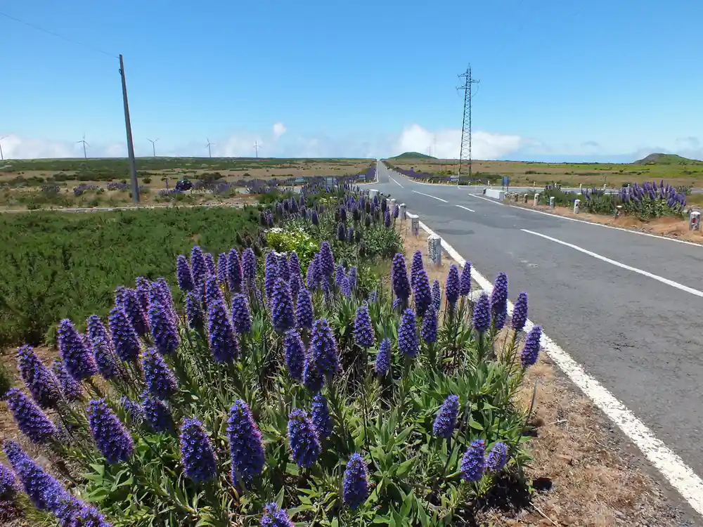
The climate keeps the water moving all year: Madeira has even temperatures all year round and an average annual temperature of 20°C (67°F).[3] You see the system at work along the west coast road, where streams drop off the Paul da Serra plateau, water is piped across gullies, and green terraces sit below dry ones.
Cabo Girão stands on the same line of cliffs that the levadas feed. It is 580 metres high and roughly 15 kilometres west of Funchal.[2][6] The skywalk on the cliff edge was completed in October 2012.[8] Underneath, below the platform, a narrow strip of farmland called the Fajã do Cabo Girão is known for the fertility of its soil and is reached by cable car.[9]
Mist on the plateau at Fanal, where the laurel forest holds the cloud long after the coast clears.
Poças das Lesmas and Other Natural Volcanic Pools
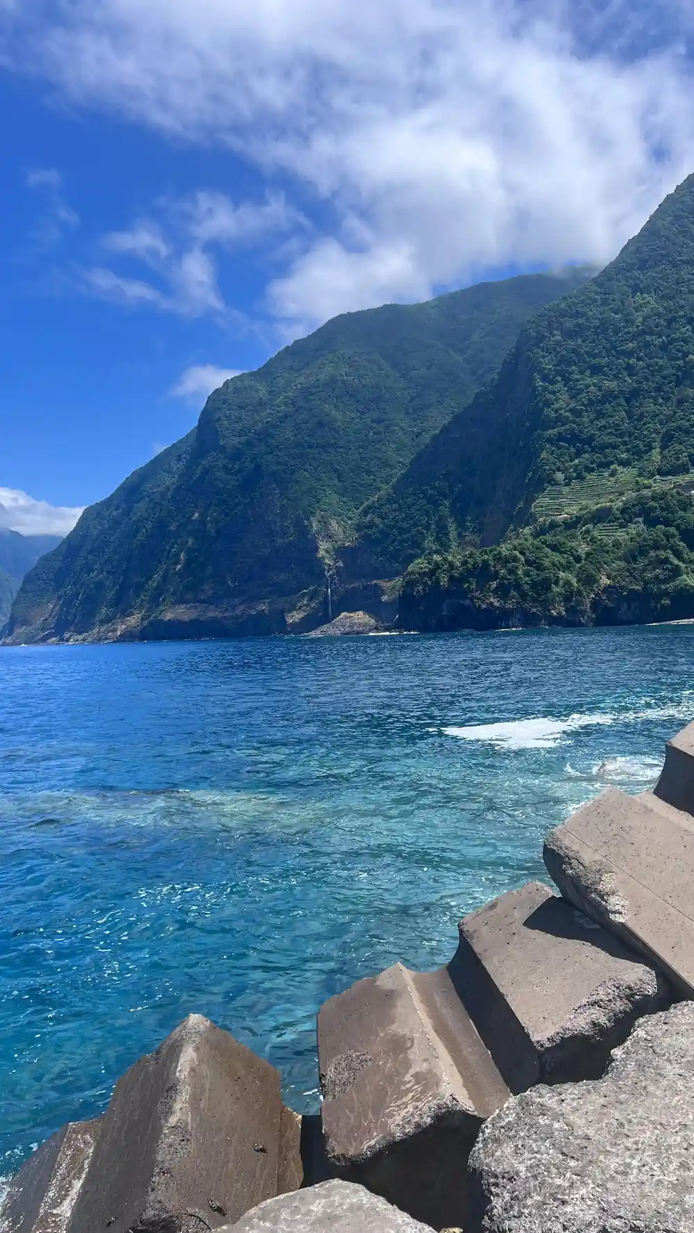
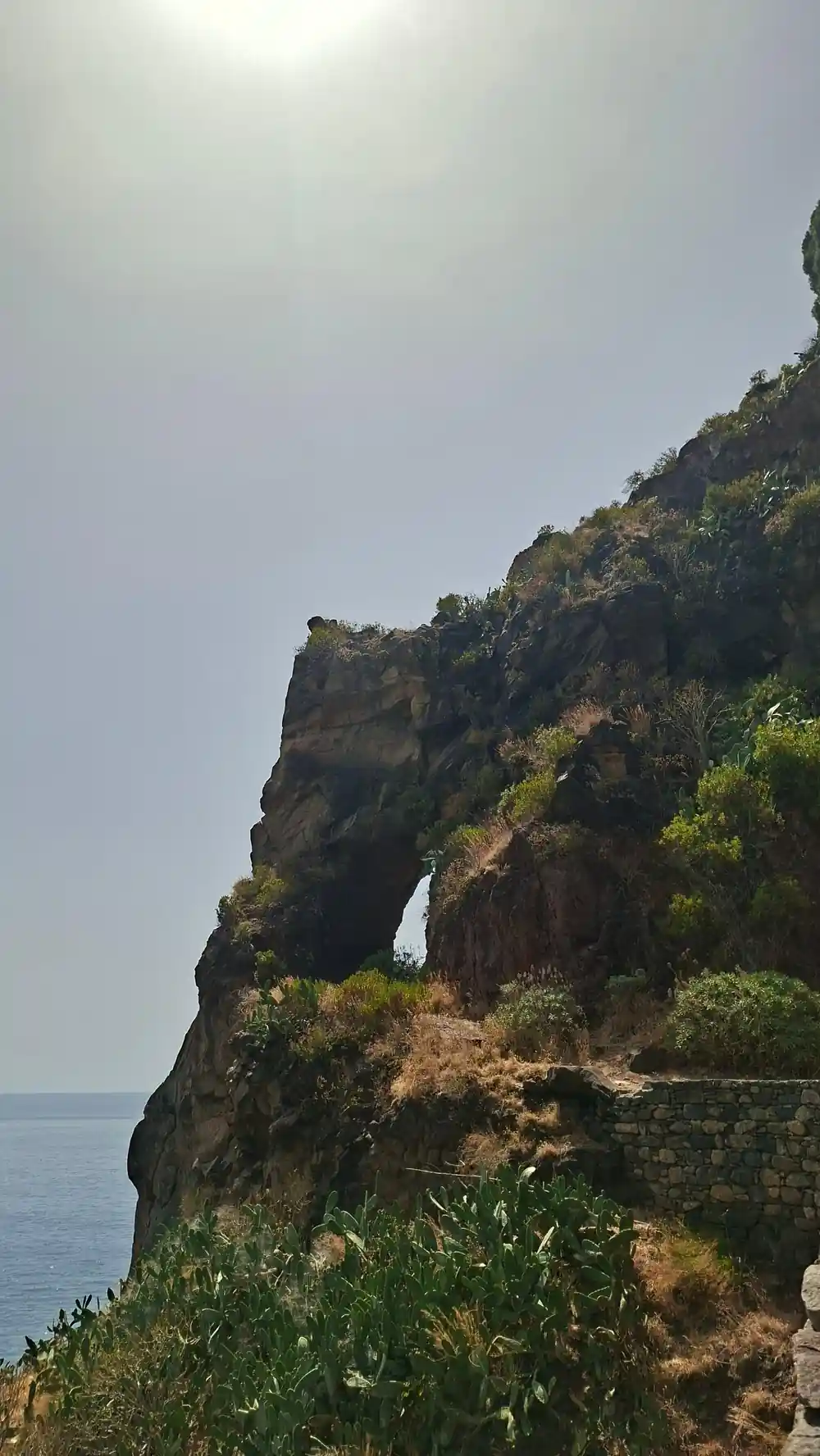
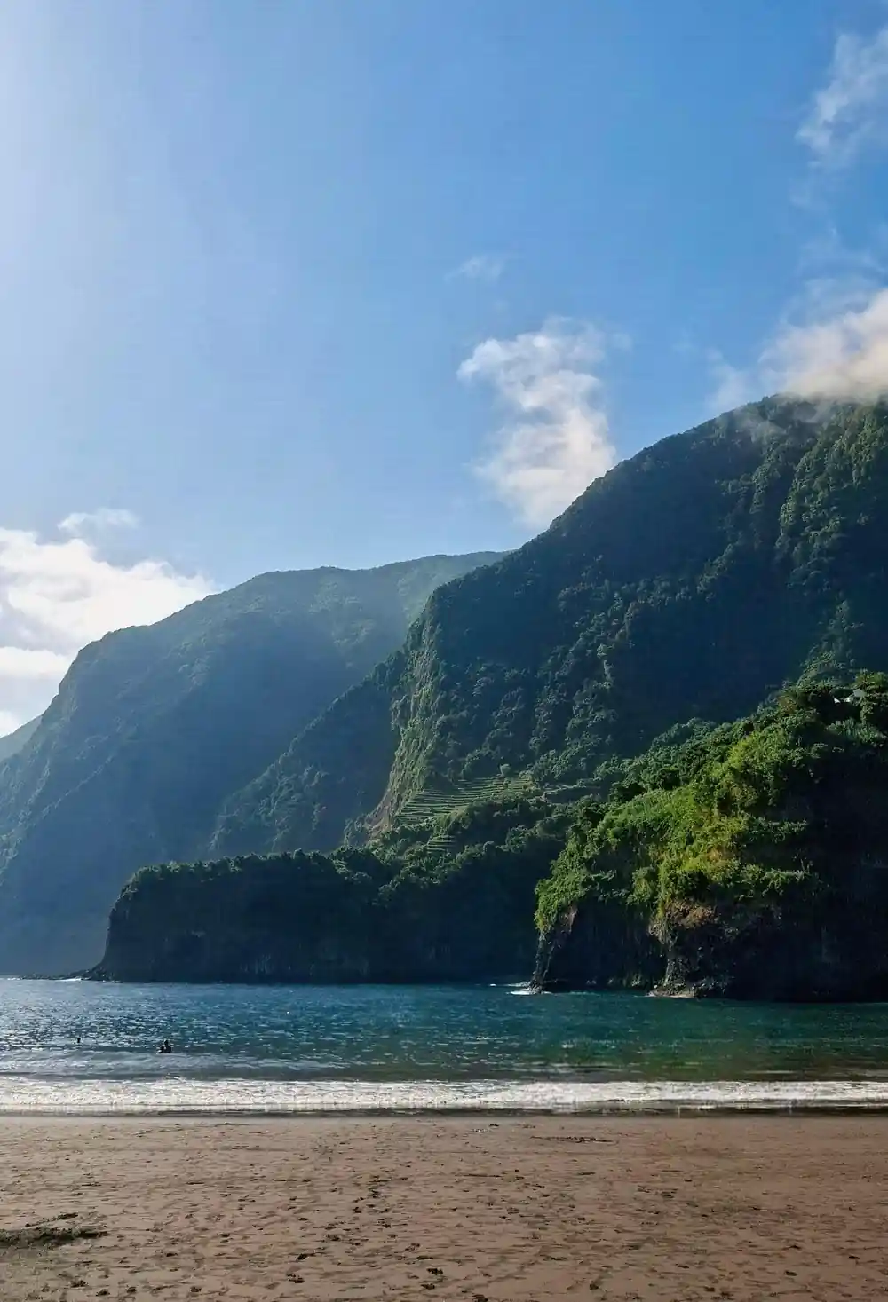
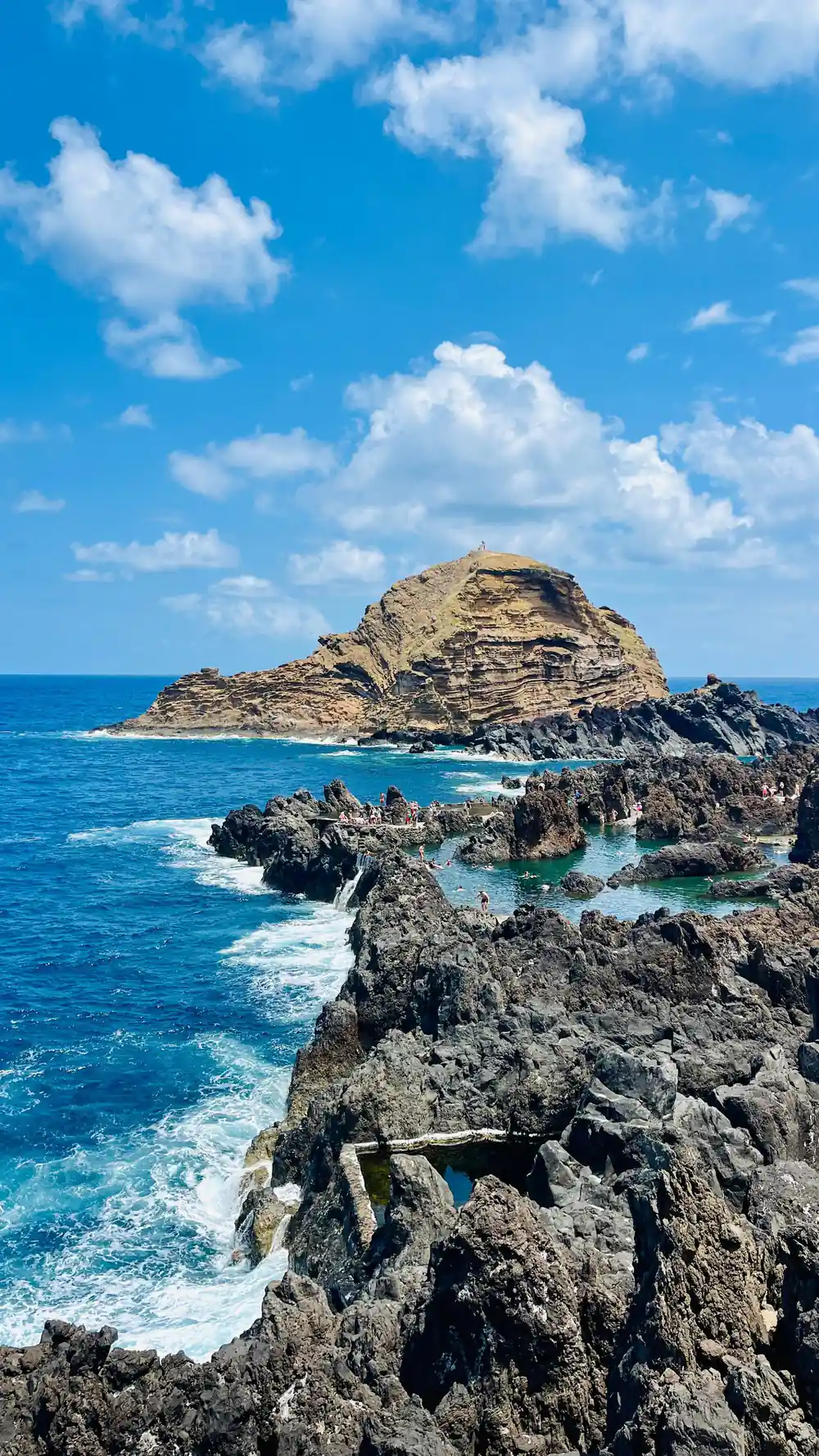
The north coast is lava that met the Atlantic and cooled into shelves, hollows and arches. The pools that formed in those hollows are one of the island's great pleasures: seawater, a rim of black rock, and the shock of a cold swim with spray coming over the edge. Poças das Lesmas, by Seixal, is the name that turns up most on the west coast, a set of natural pools with a small beach nearby.
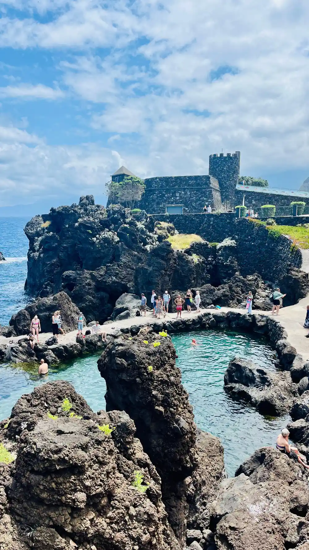
Porto Moniz is the bigger affair. Its natural pools have a lounging area of approximately 3,217 m2, a swimming area of 3,800 m2 that is 2 metres deep, and around 7,600 m3 of seawater moving through them.[4] Take swimwear and a towel, and watch your footing on the rock shelf.
Farther south, the Fajã do Cabo Girão below the skywalk is farmland rather than a pool, and it is reached by cable car.[9] A return trip on the Teleférico do Rancho costs 10 euros.[10] That makes a different kind of water day: quiet, green, and with the cliffs towering straight above you.
Lombinho Waterfall and Roads Beneath Falling Water
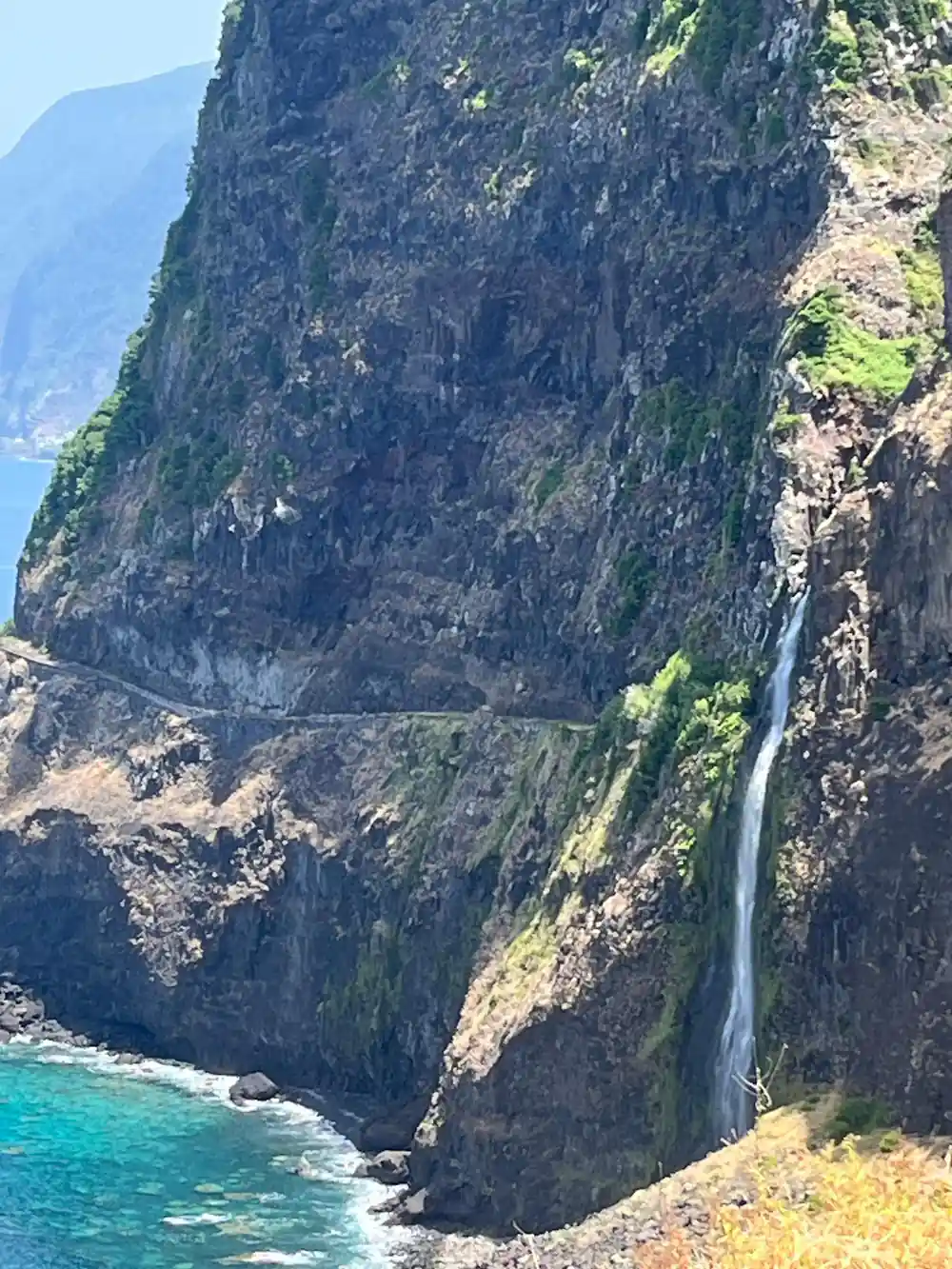
The west and north of Madeira are waterfall country. Water comes off the plateau, finds a cliff edge and falls, and some of it lands on the road. Drive the north coast between Seixal and São Vicente after rain and you pass under curtains of water, with the wipers going and the cliffs steaming.
Lombinho waterfall is the sort of stop that comes with a guide who knows the coast: small, easy to miss from the road, and loud after a wet week. The Véu da Noiva viewpoint, where water drops through green rock above the coast road, is the classic pause on this stretch.
Waterfalls here run hard in the wetter months and shrink to a trickle in a dry summer, so timing matters. Wear shoes with grip, keep phones in a pocket, and expect spray if you stand close to the fall.
from US$38
The west coast day the page recommends, with pickup, a live guide and free cancellation up to 24 hours before you go.[1]
Fanal Laurissilva Forest: Ancient Woodland and Water Sources
Fanal sits high on the Paul da Serra plateau, in the middle of the laurel forest known as Laurissilva, which has been a UNESCO World Heritage Site since 1999.[5] Madeira's tourism board lists Fanal among its Laurissilva sites and calls it a mystical century-old forest.[5]
The trees are old and twisted, hung with moss and lichen, and the ground is often under cloud even when the coast is sunny. That is the appeal: shapes in the mist, cattle wandering between trunks, and a silence that a forest with almost no undergrowth does very well. Bring a jacket, because the plateau is cooler than the coast and the damp gets into everything.
For walkers, a Fanal levada walk follows water channels and forest tracks past ponds and clearings, where the mist sometimes lifts and shows you the plateau running down to the sea. The walking is gentle, but the ground is wet and rooty, so grip matters more than distance. Guided west coast tours usually build in time here, and the forest is at its most atmospheric when the cloud is low.
Cabo Girão Skywalk and the Levada do Norte
Cabo Girão is the stop most people have seen in photographs before they land. A platform with a glass floor hangs over the cliff edge, the sea is a long way down, and the terraces below look like a model village. It is open daily from 08:00 to 20:00, and entry is €2, with residents and children up to 12 years old exempt.[2]
The hillside behind the skywalk is levada country as well. A well documented Cabo Girão levada do Norte route runs from Estreito de Câmara de Lobos to Cabo Girão, and it is one of the classic ways to join a water walk to a viewpoint.[7] A Cabo Girão levada walk map helps, but the channel does most of the work: keep the water beside you and the path leads on.
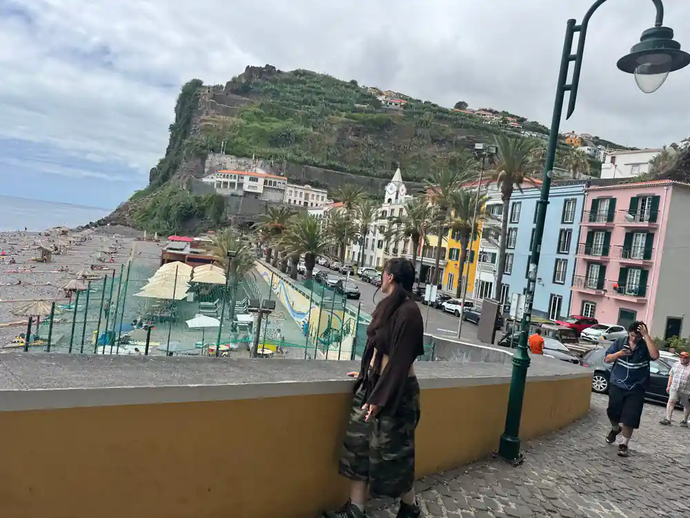
Câmara de Lobos, below the cliffs, is the other half of this stretch of coast. It is a fishing town on a curved bay, and the bay was painted by Winston Churchill in January 1950 from the Espírito Santo Viewpoint.[11] West coast tours tend to stop here early, before the light hardens and the buses arrive.
Choosing a West Madeira Tour for Water and Forest
A guided west coast tour is a straightforward way to see all of this in a day, looping from Funchal or Câmara de Lobos along the south coast, up over the plateau and back down the north side through Seixal and Porto Moniz. The one recommended here, West Madeira: Laurel Forest, Waterfall, Rock Pools, Walk, is from US$38 and has small group availability, pickup and a guide working in English, Portuguese, German or Afrikaans.[1]
Alternatives suit different days. The Madeira: Skywalk, Porto Moniz, Seixal, and Fanal 4WD Tour is from US$79, and the Funchal: Enchanted Terraces, Porto do Moniz & Fanal 4WD Tour is from US$80, both listed at 8 hours.[12][13] A lower-priced option is the Madeira: West Tour With Guide Fanal Forest SykWalkExperience, from US$42.[14]
Whichever you choose, book ahead for the busy months, take the pickup when it is offered, and leave the afternoon loose. The west side rewards a slow finish: light going gold on the cliffs, pools emptying as the day trippers head back to Funchal, and the smell of wet laurel on the last stretch of road.
From prices on west Madeira day tours
Each bar is the from price of that GetYourGuide listing.[1][12][13]
From prices per person
These are from prices in US dollars on GetYourGuide listings.[1][12][13][14]
When to plan a water day
How to plan your water day
Pick a base
Funchal and Câmara de Lobos sit at the start of most west coast loops, so a hotel in either makes the early pickup painless.
Book the west coast day
West Madeira: Laurel Forest, Waterfall, Rock Pools, Walk covers the cliffs, the forest and the pools in 8 hours.[1]
Pack for wet ground
Grip matters more than waterproofing: wet stone, tree roots and forest mud are the three things that catch people out.
Start at the skywalk
Cabo Girão opens at 08:00, so an early stop means fewer people on the glass platform before the crowds build.[2]
Leave room for a swim
Keep a towel and swimwear handy, because the pools at Porto Moniz and Seixal are the part of the day you will want to linger over.
Ride west with the Laurel Forest, Waterfall, Rock Pools, Walk
from US$38