The quick version
- From São Vicente to Porto Moniz the road runs through single-track tunnels and past waterfalls that drop straight onto the asphalt.
- The village grew around lava shelves on the north-west tip; the natural pools have a swimming area of 3,800 m2 that is 2 metres deep.[1]
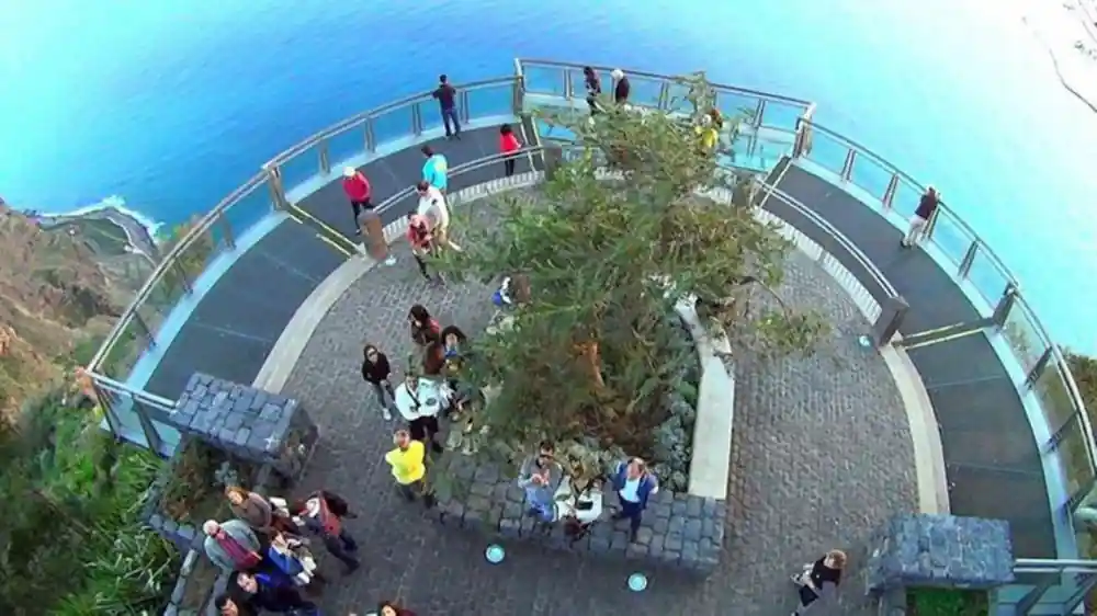
- Cabo Girão stands 580 metres high, the skywalk was completed in October 2012, and the viewpoint opens daily from 08:00 to 20:00.[2][3]
- Poios terraces and irrigation levadas shape the hillsides, and the Laurissilva forest has been a UNESCO World Heritage Site since 1999.[4]
- An 8-hour 4WD day from US$79 with pickup included, rated 4.87 from 9,297 reviews, free cancellation up to 24 hours in advance.[5]
- Top choice Skywalk, Seixal and Fanal from US$79 Duration8 hours[5]Rating4.87 from 9,297 reviews[5]Group sizePrivate or small groups[5]PickupPickup included[5]Free cancellationUp to 24 hours in advance[5] Check availability
- Enchanted Terraces 4WD from US$80 Duration8 hours[6]Rating4.78 from 5,647 reviews[6]Group sizePrivate or small groups[6]PickupPickup included[6]Free cancellationUp to 24 hours in advance[6] See this tour
- West Waterfalls and Fanal from US$40 Duration8 hours[7]Rating4.70 from 3,827 reviews[7]Group sizePrivate or small groups[7]PickupPickup included[7]Free cancellationUp to 24 hours in advance[7] See this tour
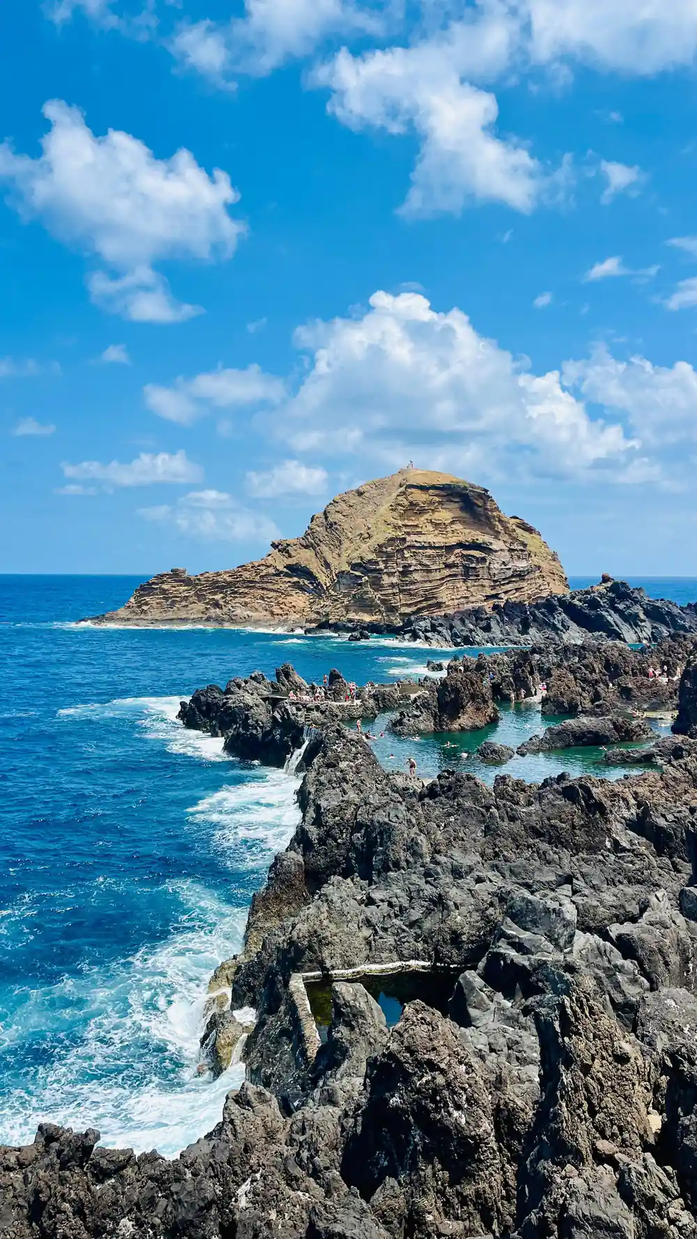
The lounging area is approximately 3217 m2 while the swimming area is 3800 m2 and 2 metres deep, allowing around 7600 m3 of seawater into the pools.
Is the hand-cut north coast road worth a full day?
Things to check
- Allow a full day for the coast road; tunnels and viewpoint stops slow everything down.
- Book ahead and keep your voucher on your phone for the pickup.
- Confirm your pickup point and time the day before you travel.
- Carry a little cash for the Cabo Girão entrance fee and village cafés.
On the day
- Layer up; the north coast can be cool and misty when Funchal is warm.
- A light waterproof and grippy shoes help on wet stone and forest paths.
- Sit back in a small group vehicle and let the driver read the tunnels.
- Small groups fill quickly in summer, so book before you fly.
The Hand-Cut Tunnels of the North Coast
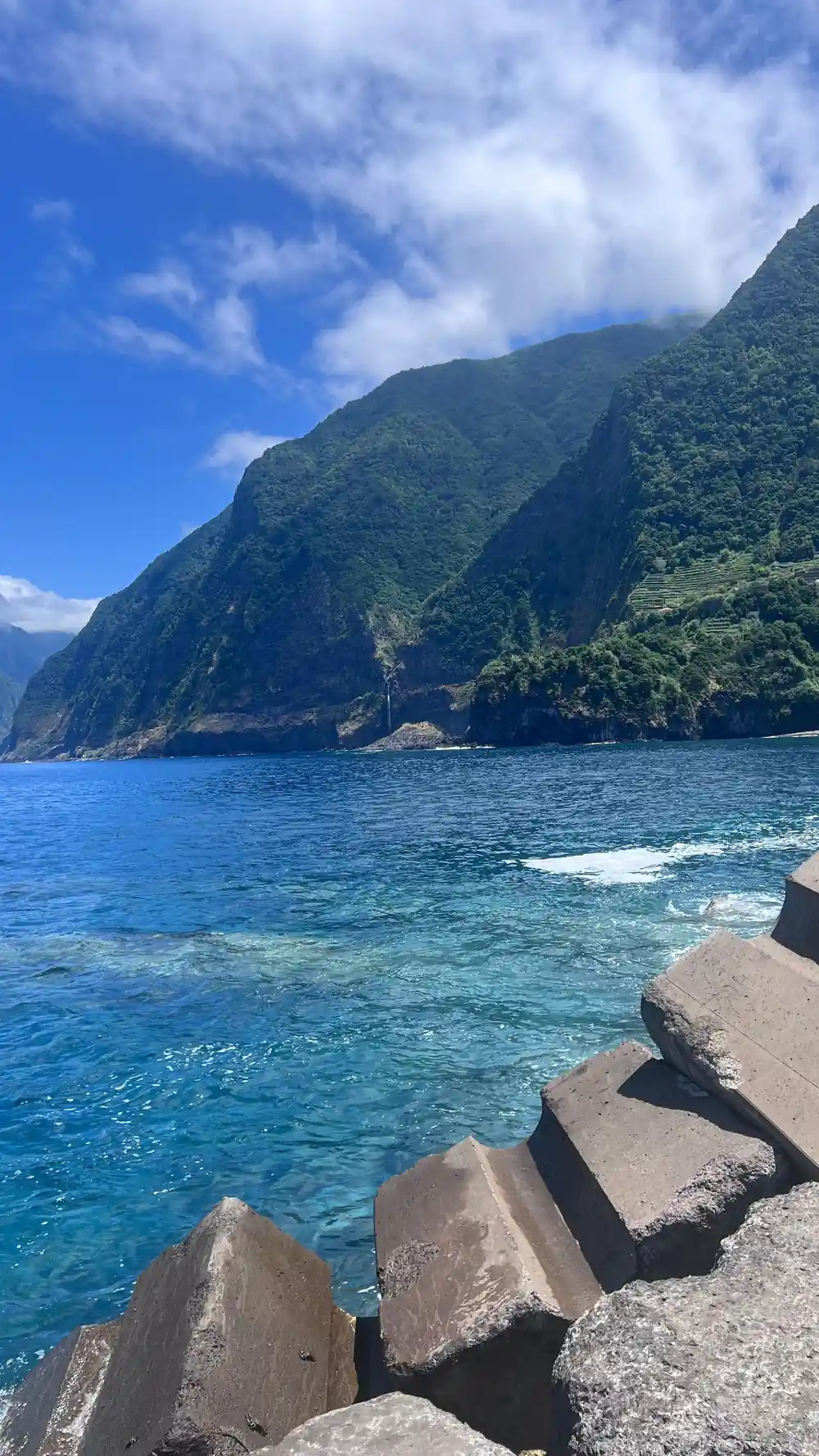
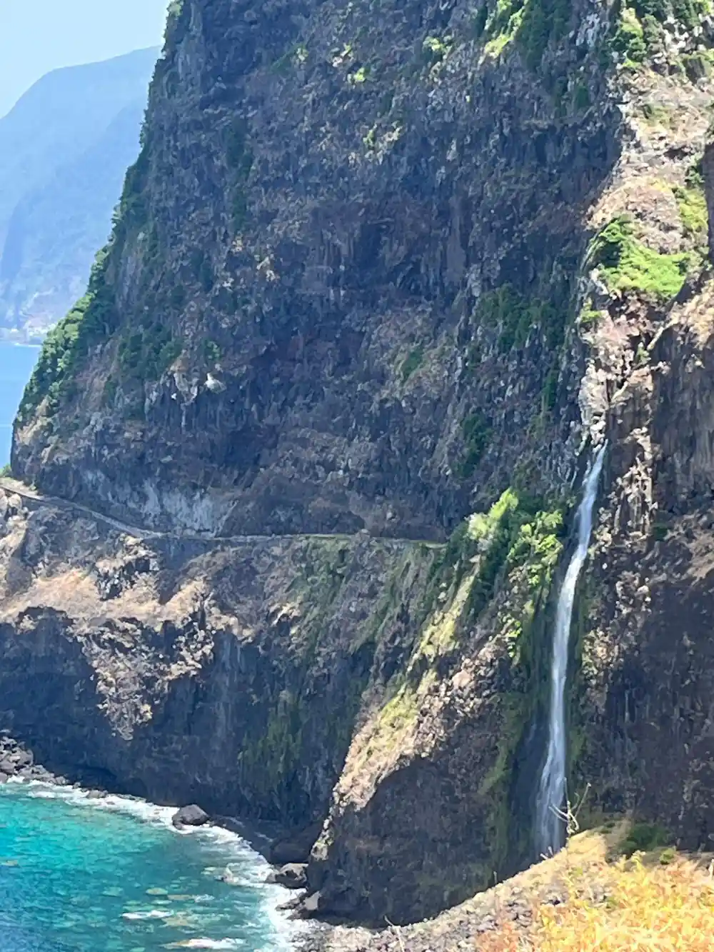
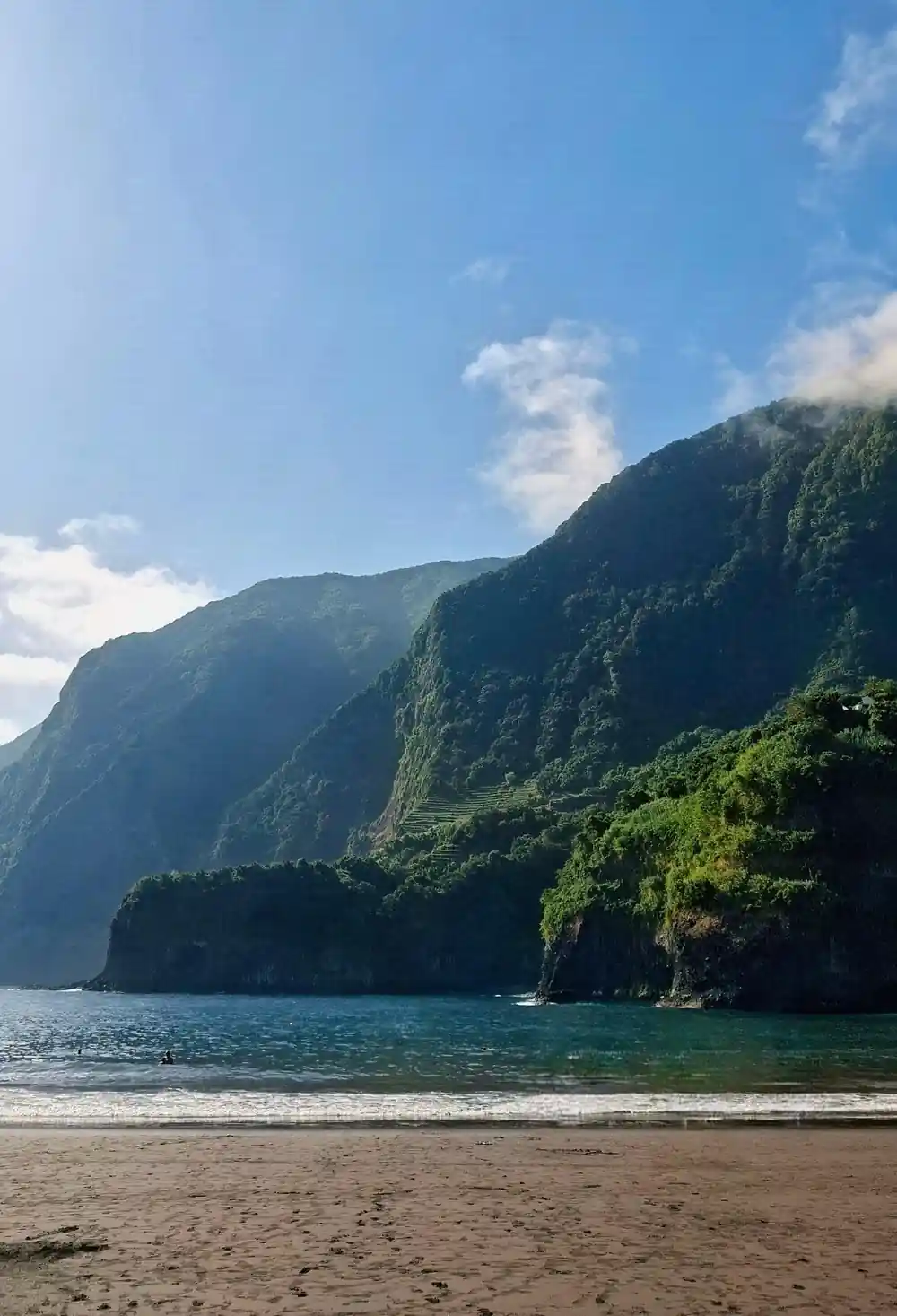
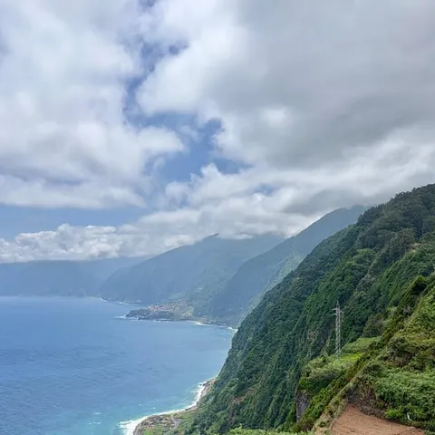
The north coast of Madeira is a wall of green, and the road along it is a thin line cut into that wall. From São Vicente westward through Seixal and on to Porto Moniz, the route slips through short tunnels, squeezes between rock face and sea, and opens every so often onto a waterfall pouring straight off the hillside. Some of those tunnels are single track, dark and dripping, and the daylight at the far end arrives all at once. Driving it remains the clearest way to feel how closed-off these villages once were, and how much the road changed them.
Come ready for changing weather. The north coast catches cloud and rain when the south is sunny, so a light waterproof layer, grippy shoes and a warm top earn their place in your bag whatever the forecast says. Many travellers see this coastline as part of a guided day out rather than driving it themselves, because the tunnels, the hairpins and the narrow village streets ask for local knowledge, and because a guide can read the sky and reorder the stops when a viewpoint disappears into mist.
Porto Moniz History: Lava, Sea and Rock Pools
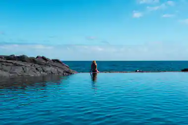
Porto Moniz history is written in lava and salt water. The village sits on the island's north-western tip, where old flows reached the Atlantic and cooled into shelves and hollows. Those hollows are now the Porto Moniz Natural Swimming Pools, a complex of rock basins that the sea fills and refreshes. The lounging area covers approximately 3,217 m2, while the swimming area is 3,800 m2 and 2 metres deep, holding around 7,600 m3 of seawater.[1] Between swims there is a small harbour, a church square and cafés that fill slowly as the tour vans arrive.
The road that reaches Porto Moniz brings the pools within reach of a day trip from Funchal. The Skywalk, Porto Moniz, Seixal and Fanal 4WD Tour from this site lists Porto Moniz among its stops, along with Cabo Girão Skywalk, Seixal, the Véu da Noiva viewpoint and Fanal Forest, and it runs for 8 hours.[5] Groups are private or small.[5] Arriving by tour also means the parking in a small village is someone else's problem for the afternoon.
The coast road threads between rock face and Atlantic, tunnel after tunnel.
Poios: The Terraces That Shaped the Hillsides
Above and below the road, the hillsides are stepped with poios, the narrow terraces that farmers carved into slopes too steep for anything else. Each terrace is held by a dry stone wall, and each wall was raised and repaired by hand. Some poios are still worked for vines, bananas and vegetables while others stand abandoned and overgrown. Look up from the road and the pattern climbs the valley sides in long wavering lines; look down and the same pattern drops away towards the sea.
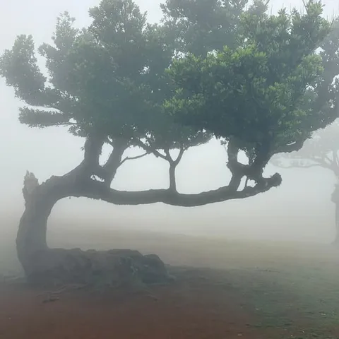
Water is the other half of that landscape. Levadas, the island's narrow irrigation channels, thread across the terraces and through the forest, and walking beside one is one of the classic Madeira days. One well-known Levada do Norte walk runs from Estreito de Câmara de Lobos to Cabo Girão.[8] Higher up, the Laurissilva forest has been a UNESCO World Heritage Site since 1999[4], and Madeira's official tourism board presents Fanal as a mystical century-old forest that visitors are invited to discover.[4]
São Vicente and the Northern Villages
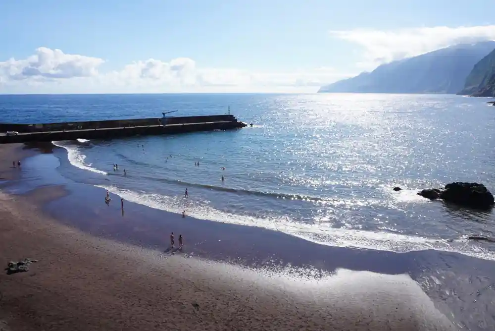
São Vicente sits in a green valley on the north coast and has long been a crossroads for anyone crossing the island. Roads come over the mountains through Encumeada and Serra de Água and drop into the village, and from there the coast road runs east towards Seixal and west towards Porto Moniz. Further along the same coast, the Guindaste Viewpoint in Santana sits on one of the slopes of the Foz da Ribeira do Faial and offers a view over Madeira's north coast.[9]
The climate that keeps all of this so green is mild. Madeira has a subtropical Mediterranean climate with even temperatures all year round and an average annual temperature of 20°C (67°F).[10] In practice the north can be misty and damp while Funchal basks, so a jumper and a rain shell earn their place on any month's visit. The reward is cloud forest, roadside waterfalls and moss-covered walls that look nothing like the postcard south.
from US$79
The 4WD day tour from this site, with pickup included and private or small groups. Rated 4.87 from 9,297 reviews.[5]
Câmara de Lobos and the Southern Contrast
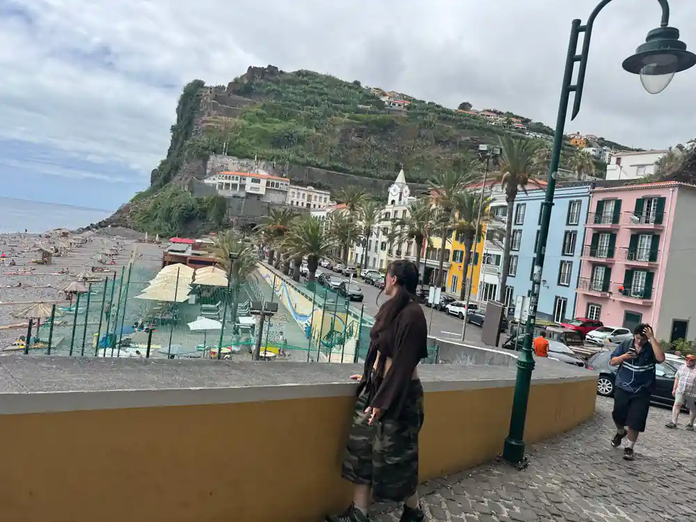
The west tour usually begins on the south coast, in Câmara de Lobos. The town is known for its bay, which Winston Churchill immortalised when he painted it in January 1950 while sitting at the Espírito Santo Viewpoint facing the sea.[11] Below the houses the harbour wall curves around the boats, and the square behind it is where the day's first coffee gets ordered while the vans regroup for the drive west.
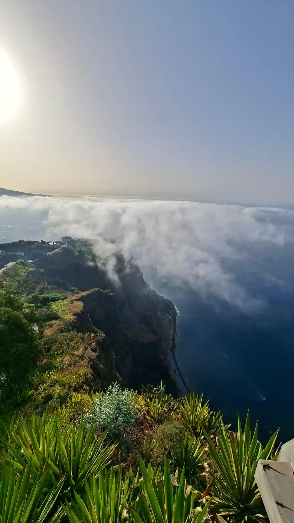
A short drive on, Cabo Girão rises 580 metres above the water.[2] The skywalk that juts out from the top was completed in October 2012[3] and is open daily from 08:00 to 20:00.[2] There is an entrance fee of €2, except for residents and children up to 12 years old.[2] The viewpoint is approximately 15 kilometres west of Funchal,[12] a natural first stop on the run west.
Fajãs: Farming at the Cliff's Foot
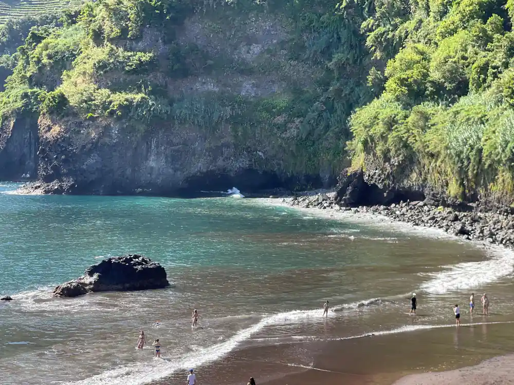
Fajãs are the flat, fertile shelves of land at the foot of Madeira's cliffs, built from fallen rock and the soil that settled on it. The Fajã do Cabo Girão beach is known for the impressive fertility of its agricultural land, and this narrow, lush piece of land can be accessed by cable car.[13] If you want to ride down, a return trip on the Teleférico do Rancho cable car costs 10 euros.[14] The descent is short, the terraces at the bottom are small, and the ride back up is part of the experience.
Farming these shelves, and the poios above them, has always been patient work, done by hand and watered by levadas that carry water across the island. On the same stretch of coast, Seixal has its own natural pools, and the Skywalk, Porto Moniz, Seixal and Fanal 4WD Tour lists Véu da Noiva, Seixal, Porto Moniz, Fanal Forest and Paul da Serra among its stops.[5] A day out here swings between sea level and high plateau, with the Laurissilva forest closing in as the road climbs.
From Isolation to Connection: The Road Today
The modern road ended the isolation, but it did not flatten the coast into sameness. The villages are still small, the tunnels still leak, and a loop from Funchal around the west and back fills a day once you count the stops. If you would rather not drive it yourself, the Skywalk, Porto Moniz, Seixal and Fanal 4WD Tour runs for 8 hours, starts from US$79 and is rated 4.87 from 9,297 reviews.[5] Pickup is included, and the tour is offered as private or small groups.[5]
Booking is straightforward: reserve now and pay later, with free cancellation up to 24 hours in advance.[5] Live guiding is available in Portuguese, Spanish, English and French.[5] Take a swimsuit for the Porto Moniz pools, a windproof layer for the plateau, and shoes with grip for the short walks beside the waterfalls. The coast rewards travellers who leave enough slack in the day for a cloud to lift.
West coast tour from-prices
From-prices as listed per person on GetYourGuide:[15],[7],[16],[5],[6].
What a west coast day costs
US dollar from-prices of the tour listings:[5],[6],[15],[7].
When to drive the north coast
The hand-cut road today
Start on the south coast
Most west tours collect in and around Funchal, then run west past Câmara de Lobos towards the cliff viewpoint.
Stop at the skywalk
A platform over the cliff edge, open daily, with the cable car and terraces below if you have time to descend.
Cross to the north
The road climbs through Serra de Água and São Vicente, then follows the coast through single-track tunnels.
Swim at Porto Moniz
The lava pools are the highlight of the day for many; bring a towel and a swimsuit and change in the village.
Climb into the forest
Fanal's mossy trees and the Paul da Serra plateau sit on the return leg, often in mist and noticeably cooler.
Book before you fly
Book early for your preferred pickup; free cancellation up to 24 hours in advance keeps plans flexible.[5]
Ride the hand-cut coast road with a local driver
from US$80Reserve now & pay later