The quick version
- Skywalk, Porto Moniz, Seixal and Fanal 4WD, from US$79, about 8 hours with a live guide.[1]
- Cabo Girão Skywalk, Ribeira Brava, São Vicente, Véu da Noiva, Seixal, Porto Moniz, Ribeira da Janela and Fanal Forest.[1]
- Fanal is a mystical century-old forest according to Madeira's tourism board,[2] and the Laurissilva has been UNESCO World Heritage since 1999.[2]
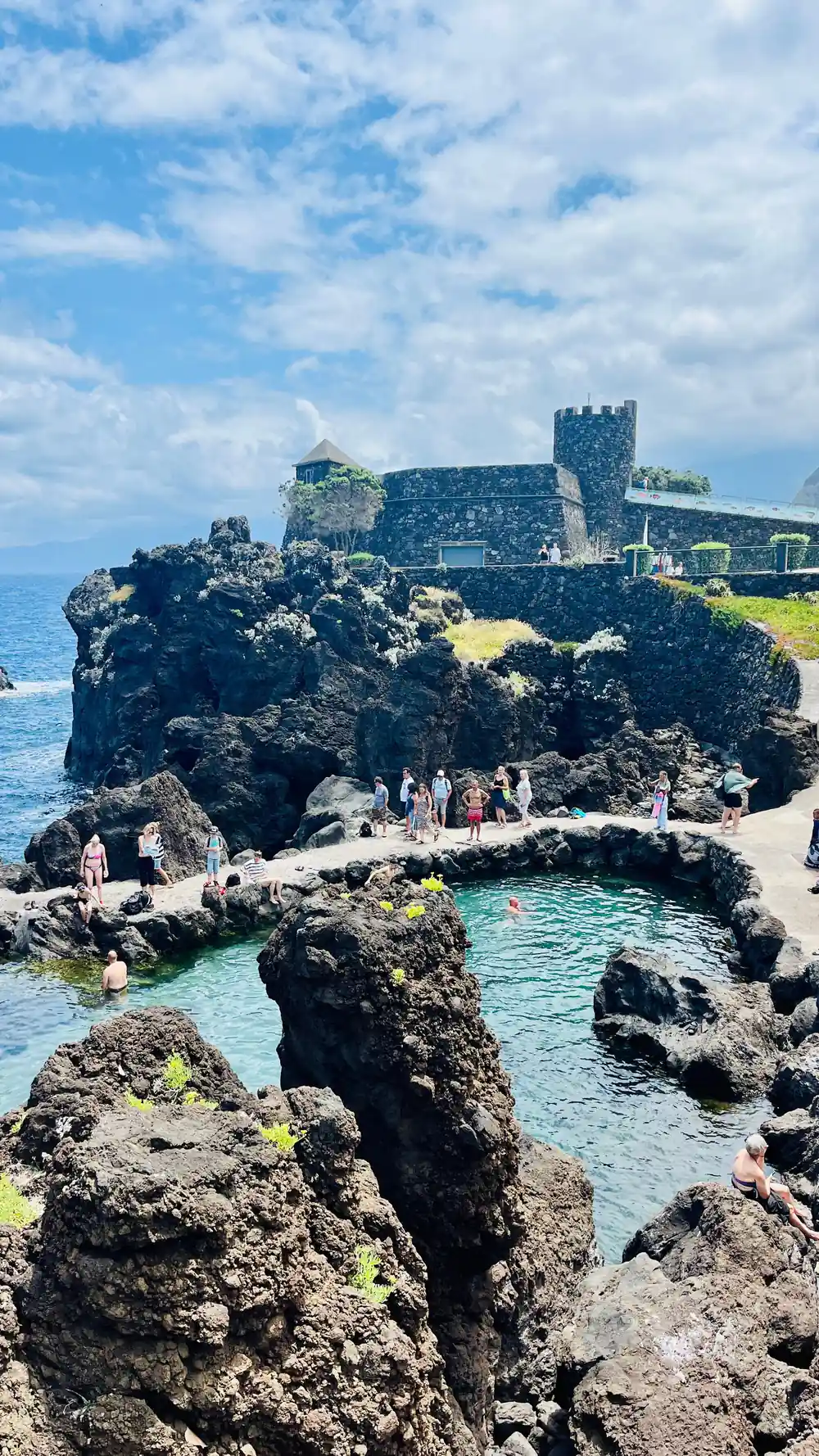
- Porto Moniz has a swimming area of 3,800 m2 that is 2 metres deep, with around 7,600 m3 of seawater.[3]
- Free cancellation up to 24 hours in advance, reserve now and pay later, and pickup included.[1]
- Top choice Skywalk, Seixal & Fanal 4x4 from US$79 Rating4.87 from 9,297 reviews[1]Duration8 hours[1]Group sizePrivate or small groups available[1]Guide languagesPortuguese, Spanish, English, French[1]CancellationCancel up to 24 hours in advance[1] Check availability
- Enchanted Terraces & Fanal from US$80 Rating4.78 from 5,647 reviews[4]Duration8 hours[4]Group sizePrivate or small groups available[4]Guide languagesEnglish, French, Portuguese, German[4]CancellationCancel up to 24 hours in advance[4] See this tour
- Waterfalls & Fanal Forest from US$40 Rating4.70 from 3,827 reviews[5]Duration8 hours[5]Group sizePrivate or small groups available[5]Guide languagesGerman, Spanish, English, Portuguese[5]CancellationCancel up to 24 hours in advance[5] See this tour
The lounging area is approximately 3217 m2 while the swimming area is 3800 m2 and 2 metres deep, allowing around 7600 m3 of seawater into the pools.
Is the west coast 4WD tour worth it?
Things to check
On the day
- Around 8 hours from pickup to drop-off[1]
- A warm layer for the plateau, where the air is cooler
- Sun cream and a hat for the coastal stops
- Shoes with grip for wet stone and forest paths
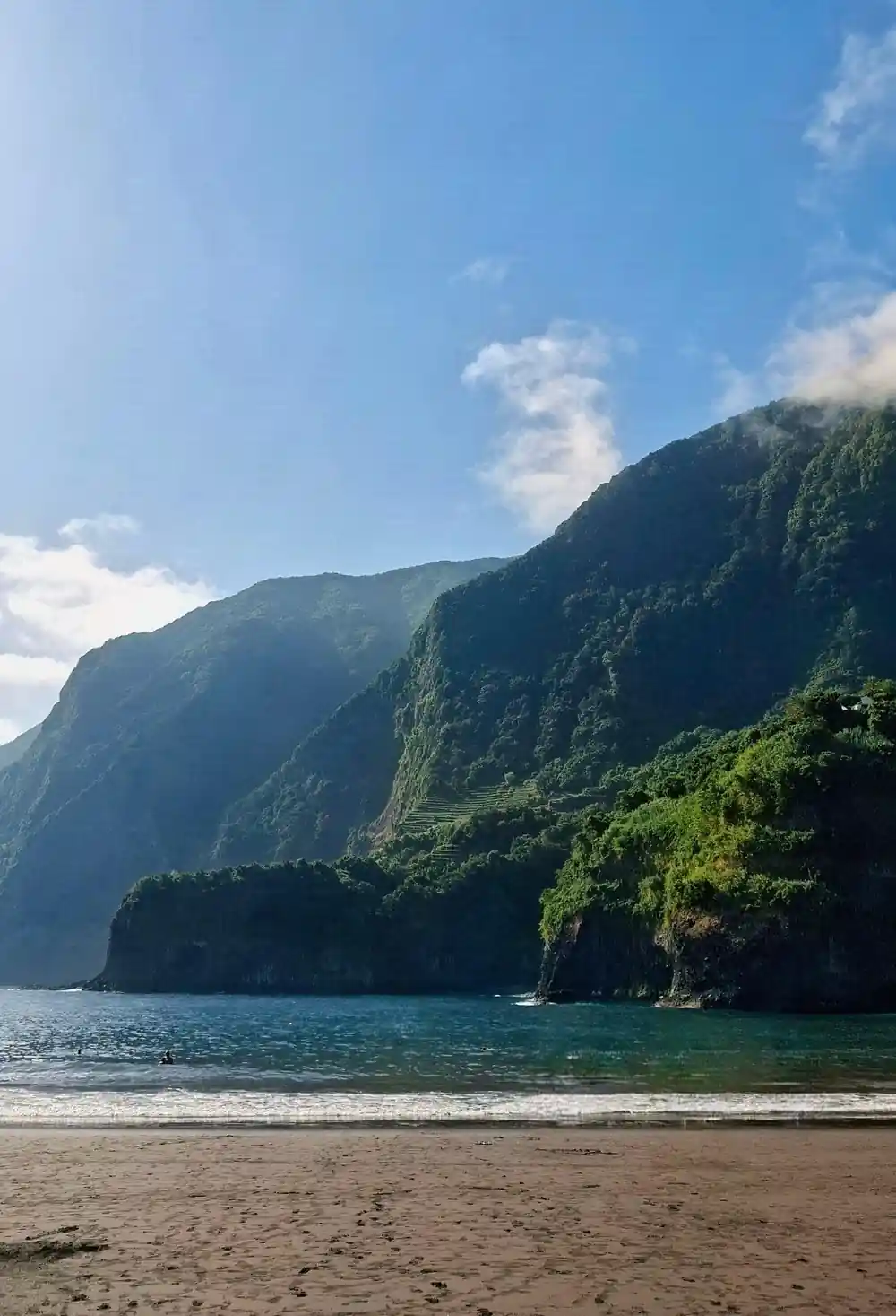
Black Sand Born from Volcanic Stone
Seixal's beach is often the first thing people picture when they think about Madeira's north coast. The sand is dark, almost charcoal, ground from basalt that cooled long ago and has been rolled by Atlantic swell ever since. Behind it the hillside runs green to the waterline, with terraces, smallholdings and a church tower stacked above the road. It is a beach that photographs flatly at midday and beautifully in the late afternoon, when the dark grains catch the low light.
The Madeira: Skywalk, Porto Moniz, Seixal, and Fanal 4WD Tour stops at Seixal and at the natural pools in Porto Moniz on the same day, and it also calls at the Fanal forest up on the plateau.[1] It runs for around 8 hours and picks up from a long list of points spread across the island.[1] A live guide travels with the group, and private or small group options are available.[1]
Swimming at Seixal is a different business from the hotel pools around Funchal. The water is cool, the entry is usually over rock or pebbles, and the swell can change its mind within the hour. Watch what local swimmers do, keep an eye on the sets rolling in, and think of black sand as something to sit on rather than something to brush off: it clings to damp skin and holds the day's heat. A pair of old trainers for the rocks is worth more here than a new towel.
Véu da Noiva: Water from the Ridge Above
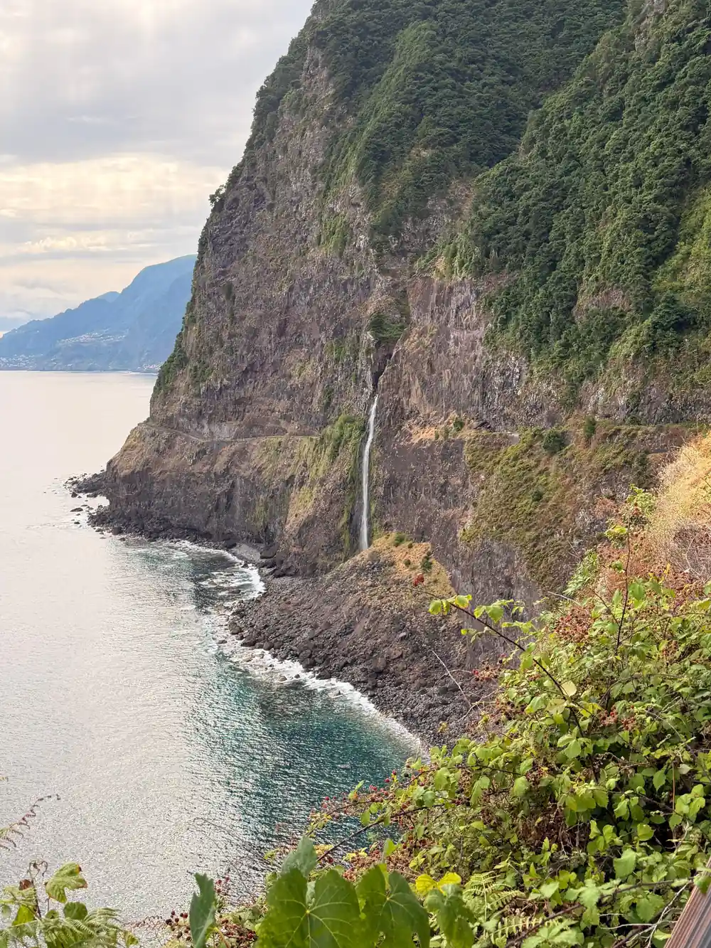
Véu da Noiva means bride's veil, and on a wet day the name makes sense: a thin white fall dropping down a dark cliff face beside the old north coast road, with the Atlantic straight below. In dry spells it thins to a trickle or vanishes altogether, which is the honest way to describe most waterfalls on this island. The water falls from the ridge above, gathered by the same damp high ground that feeds the levadas and the hydro channels further along the coast.
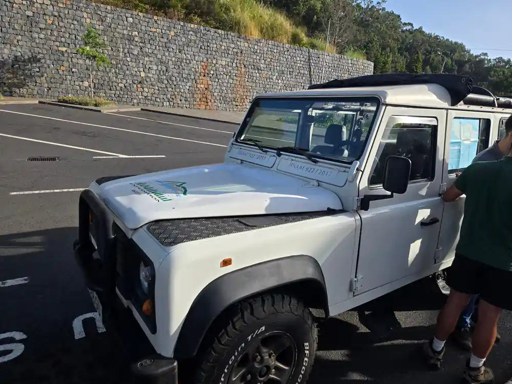
The Véu da Noiva Viewpoint is one of the stops on the Skywalk, Porto Moniz, Seixal and Fanal 4WD Tour.[1] The vehicle is a 4WD and the guide speaks Portuguese, Spanish, English and French.[1]
Come ready for wind and spray. The viewing areas sit close to the cliff edge, coaches and vans pull in and out all day, and the paving can be slick after rain. A light waterproof layer does more for the experience than an umbrella, which the north coast breeze will take apart in seconds. If the fall is running hard after heavy rain, stay behind the barriers; the rock face here is wet and loose.
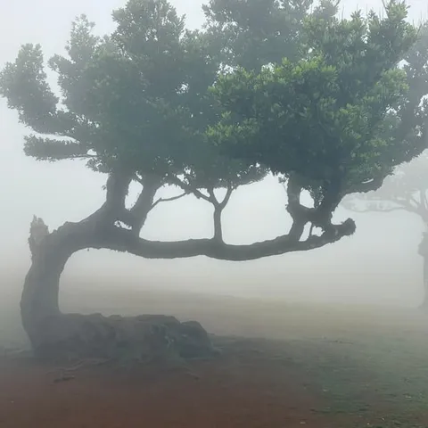
Cloud settling between the trees of the Fanal forest
Sea Stacks and Legends at Ribeira da Janela
At Ribeira da Janela a short river reaches the sea between black rocks, and just offshore stand the ilhéus, blunt stacks of volcanic rock that take the full weight of the Atlantic. The village behind them is small and unhurried: a cluster of houses, a church, a couple of places to eat, and boats left where the owner happened to stop. The stacks change character with the light, black and monolithic at midday, then rimmed with white water as the swell pushes through the gaps.
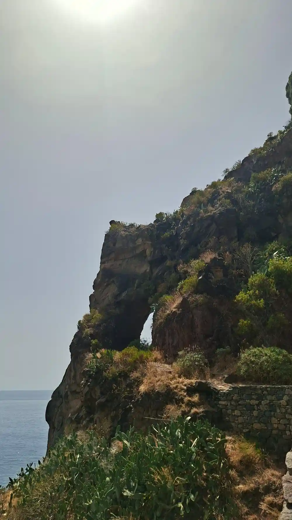
The name is usually explained by a window-like opening in the rock, and local storytelling has had centuries to work on it. Whatever the truth of it, the coastline here rewards slow looking: tide pools, boulders the size of cars, lizards on warm stone. The Ribeira Da Janela stop sits on the tour's route alongside the Lombinho waterfall and the Fanal forest further inland.[1]
This is a good place to slow down rather than tick off. Walk out onto the rocks only where others clearly go, keep back from wet ledges, and do not turn your back on the sea, because the swell arrives in sets and the rock shelf sits low. Photography works best in the hour before sunset, when the stacks go black against a bright horizon.
Paúl da Serra: A Plateau Above the Clouds
Paúl da Serra is the flat, wind-scoured tableland in the middle of the island's west, a place of peat, thin grass, sheep and low cloud. It feels nothing like the coast a few minutes below it. On clear days you can pick out both shores at once; on others you drive through mist so thick that the road ahead is only a grey suggestion, and the sheep appear out of it without warning. Either way, it is the transition that makes a west coast day rewarding.
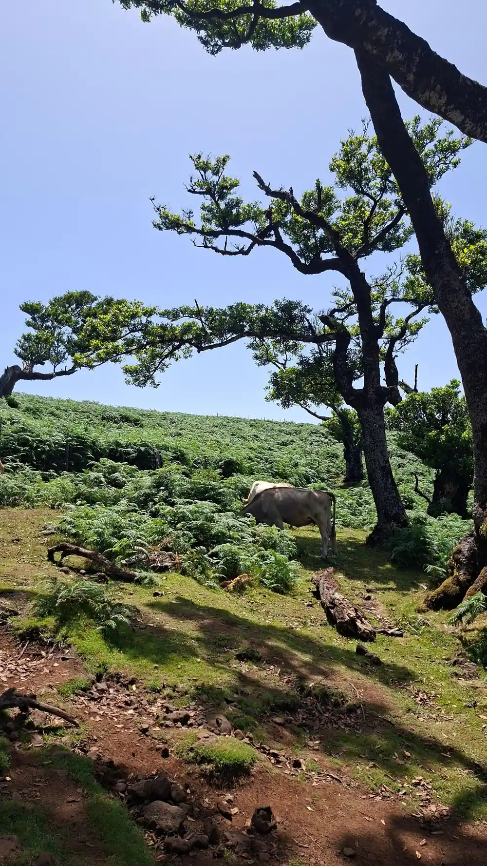
Fanal sits within this landscape, and Madeira's official tourism board presents it as a mystical, century-old forest that visitors are invited to discover.[2] The trees stand in open, boggy ground, twisted and moss-covered, and when cloud settles between them the place takes on an atmosphere that photographs struggle to carry. The wider Laurissilva forest has been a UNESCO World Heritage Site since 1999.[2]
The tour crosses Paul da Serra and visits Fanal Forest, with a stop at Fanal Pond as well.[1] Bring a warm layer even in high summer; the plateau is exposed and the wind rarely stops. Footwear matters: the ground around the trees is soft and wet for much of the year, and the paths turn to mud where everyone walks. If the mist is down, enjoy it rather than waiting for it to lift, since it often does not.
from US$79
The 4WD tour costs from US$79 for about 8 hours, with pickup included and a live guide.[1]
Levadas: The Water Channels That Made Settlement Possible
Madeira's levadas are narrow water channels, cut by hand along hillsides to carry rain from the wet interior to farms, villages and, later, power stations. Some run for kilometres at a near-constant gradient, hugging cliffs and passing through tunnels, and walking beside them has become one of the island's defining activities. They are working infrastructure rather than trails, so walkers share the channel with fast-flowing water and occasionally with the people who maintain it.
One documented route, the Levada do Norte, runs from Estreito de Câmara de Lobos to Cabo Girão.[6] It is a reminder of how close the water engineering of the interior comes to the cliff edge of the south coast, and how completely these villages depended on it for drinking water and for irrigation.
If you walk a levada, go with a guide or good directions, wear shoes with grip, and carry a small torch for the tunnels. Edges are unprotected in places, the stone is often wet, and vertigo is a genuine factor on the narrow stretches. Take your litter out, never dam or divert the water, and step aside for anyone working on the channel.
Hand-Cut Roads and Cliff Tunnels of the North Coast
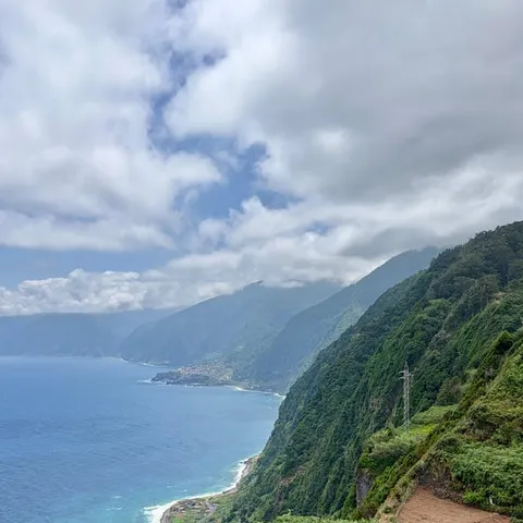
For much of the last century the north coast was reached by a road blasted and pickaxed into the cliffs, with tunnels bored through basalt and galleries cut into the rock face where a cutting would not hold. Sections of that old route survive as scenic detours, and driving them is part of the pleasure of the west. The newer tunnels have made the journey quicker, but they have not made the landscape any less dramatic.
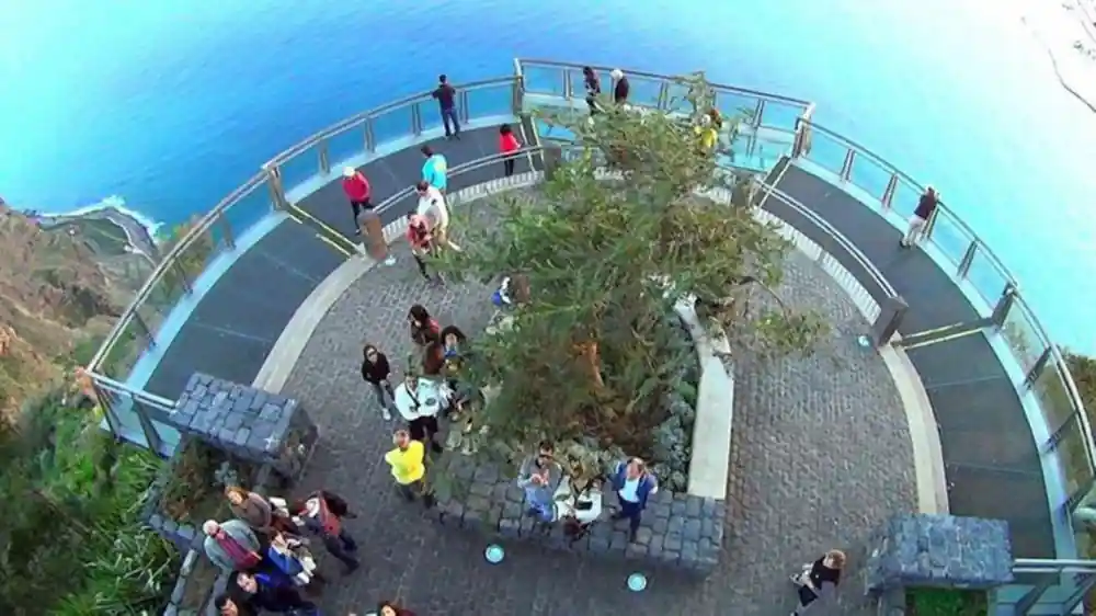
Cabo Girão is the headline cliff of these drives, and it stands 580 metres high.[7] Its skywalk was completed in October 2012,[8] entry costs €2, except for residents and children up to 12 years old,[7] and the site is open daily from 08:00 to 20:00.[7] It lies roughly 15 kilometres west of Funchal.[9] Below the platform, the Fajã do Cabo Girão beach is known for the fertility of its agricultural land, and the narrow strip can be reached by cable car,[10] with a return trip on the Teleférico do Rancho costing 10 euros.[11]
On the organised route you are not the one driving. The tour uses a 4WD with a live guide, and free cancellation is available up to 24 hours in advance.[1] Further north, the Guindaste Viewpoint sits on one of the slopes of the Foz da Ribeira do Faial in the municipality of Santana and looks over the north coast.[12]
Atlantic Shoreline Life and Tidal Zones
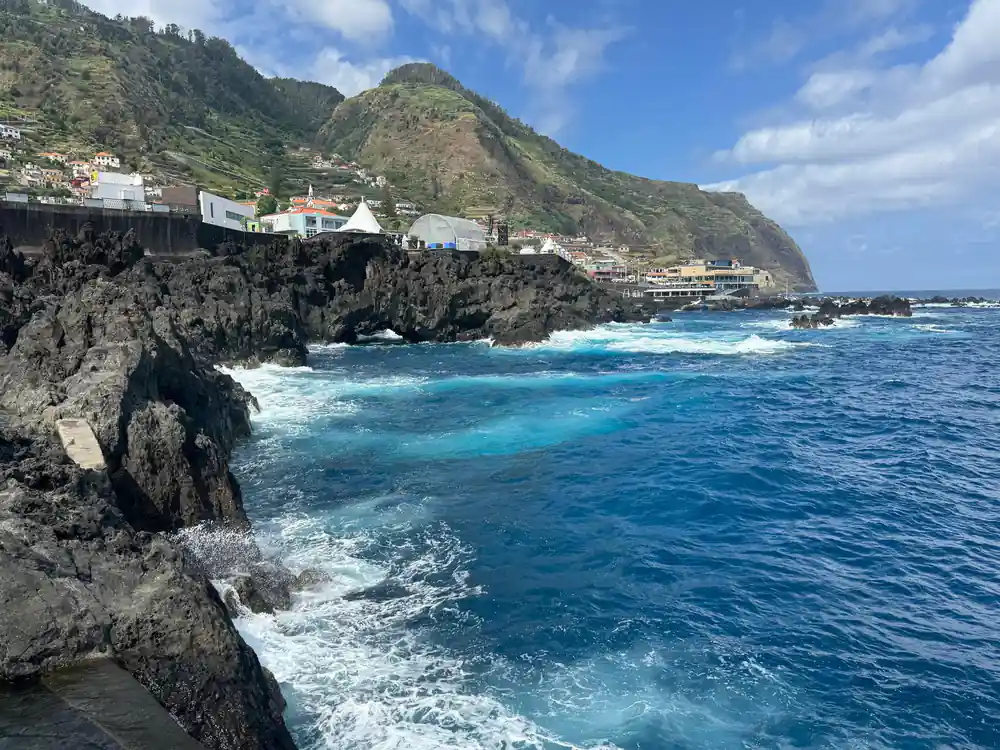
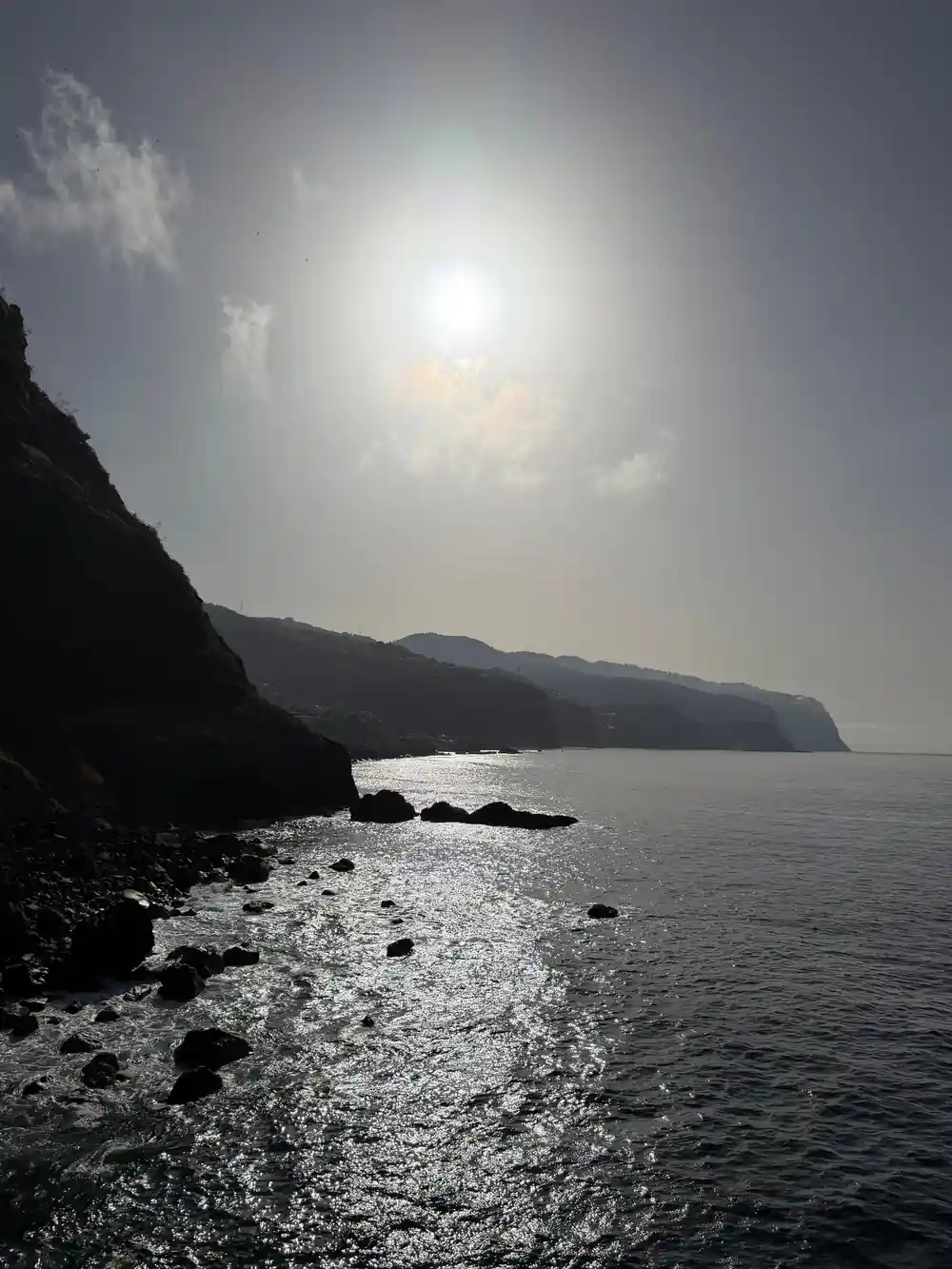
The north coast shoreline is a hard place to live and a fascinating one to watch. Barnacles and limpets cement themselves to the rock, crabs and small fish sit out the low tide in pools, and seabirds work the surf line for whatever the swell turns over. The band between high and low water is the busiest part of the coast, and it changes with every tide and every storm.
Porto Moniz is where most people stop. The natural swimming pools there have a lounging area of about 3,217 m2 and a swimming area of 3,800 m2 that is 2 metres deep, holding around 7,600 m3 of seawater.[3] Lava formed the basins, the sea fills them, and a Porto Moniz viewpoint above the complex shows you the shape of the coast at once, from the pools to the cliffs behind the village.
Madeira has a subtropical Mediterranean climate with even temperatures all year round and an average annual temperature of 20°C (67°F).[13] Sea temperatures are cooler than the air, so most people swim briefly rather than long. The tour's route includes Porto Moniz, Seixal and Fanal Forest, with pickup from many points around the island.[1]
GetYourGuide ratings for west coast tours
From prices for west coast day tours
From prices per person as listed:[1][4][5][14] No separate child price is published for these tours.
When to go on the west coast
How to plan the day
Pick your date
Choose a day that suits your plans; the tour runs about 8 hours and finishes back at your drop-off point.[1]
Check pickup
The route has 11 pickup options and 11 drop-off locations, so check availability for details near where you are staying.[1]
Pack layers
Coast warmth and plateau mist in one day. Bring a windproof layer, shoes with grip and a dry bag for wet stops.
Plan for extras
Cabo Girão's skywalk has an entrance fee of €2, except for residents and children up to 12 years old.[7]
Skip the driving
A live guide leads the tour, and free cancellation is available up to 24 hours in advance.[1]
Ride the west coast with a guide who knows the island
from US$80Reserve now & pay later